Generation of orthomosaic and DEM (without GCP)
This tutorial shows how to generate your first orthomosaic and/or DEM with Agisoft Metashape Professional without the use of Ground Control Point (GCP).
Open: in English

Generation of orthomosaic and DEM (with GCP)
This tutorial explains how to produce your first high-quality georeferenced orthomosaic and/or DEM with Agisoft Metashape Professional, provided you have ground control point (GCP) data.
Open: in English

Control and verification points for aerial surveys
This tutorial shows how to use markers as checkpoints for reference and as verification points for accuracy validation in Agisoft Metashape Professional.
Open: in English

Generation of 3D models
This tutorial shows how to create your first 3D model of an object with Agisoft Metashape.
Open: in English

DEM-based measurements
This tutorial shows how to perform different types of measurements based on the digital elevation model in Agisoft Metashape Professional.
Open: in English

Dense cloud classification and DTM generation.
This tutorial shows how to use automatic and manual dense cloud classification tools in Agisoft Metashape Professional.
Open: in English

Automated mission planning
This tutorial describes the basics of the automated mission planning functionality for complex structures based on simple air flight in Agisoft Metashape Professional.
Open: in English

Satellite image processing
This tutorial demonstrates the processing of satellite images with accompanying RPC data in Agisoft Metashape Professional.
Open: in English

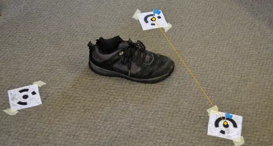
Coded targets and scale bars
This tutorial demonstrates the use of coded targets and scale bars in Agisoft Metashape Professional.
Open: in English

Radiometric calibration using reflectance panels
This tutorial describes the common workflow related to reflectance calibration of multispectral image data acquired using Parrot Sequoia or MicaSense RedEdge cameras.
Open: in English


